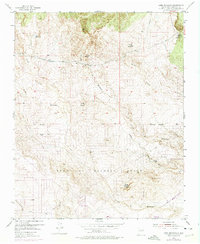
1954 Map of Loma Machete
USGS Topo · Published 1975About this map
The Town of Alameda Grant lands define this Sandoval County landscape, stretching across a complex network of drainage systems including the Arroyo de los Montoyas and the Arroyo de las Calabacillas. This 1954 survey, with purple-ink revisions from 1972, reveals the arid terrain north of Albuquerque just as suburban development began to touch the southern margins near Corrales.
Find a feature on this map
18 named features on this map. Tap any name to fly to it.
Don’t see what you’re looking for? This feature index may not catch every label — zoom into the map to look around manually.
Map Details
Editions of this 1954 Loma Machete Map
Other maps of this area

1888 · Bernalillo
USGS Topo · 1:125,000

1889 · Albuquerque
USGS Topo · 1:125,000

1893 · Albuquerque
USGS Topo · 1:125,000

1934 · Alameda
USGS Topo · 1:24,000

1934 · Griegos
USGS Topo · 1:24,000

1938 · Albuquerque
USGS Topo · 1:62,500

1953 · Bernalillo NW
USGS Topo · 1:24,000

1954 · Alameda
USGS Topo · 1:24,000

1954 · Volcano Ranch
USGS Topo · 1:24,000

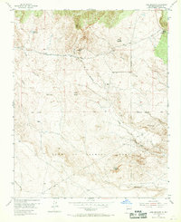
1954 · Loma Machete
USGS Topo · 1:24,000