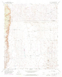
1954 Map of Volcano Ranch
USGS Topo · Published 1975About this map
The Volcanoes rise along the eastern edge of this landscape, marking a stark geologic transition in the high desert west of the Rio Grande. Surveyed in the mid-1950s and updated in the early 1970s, the map reveals a sparsely settled region defined by large Spanish land grants, including the Town of Alameda Grant and the Town of Atrisco Grant North Boundary. Human activity is concentrated around modest livestock outposts like Volcano Ranch and Black Ranch, supported by a network of aqueducts, pipe lines, and isolated water tanks. The presence of the State Game and Fish Commission Bird Shelter indicates early conservation efforts in this arid environment, while the deep cut of the Arroyo de las Calabacillas drainage illustrates the power of seasonal water in shaping the topography of the West Mesa.
Find a feature on this map
14 named features on this map. Tap any name to fly to it.
Don’t see what you’re looking for? This feature index may not catch every label — zoom into the map to look around manually.
Map Details
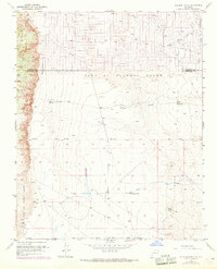
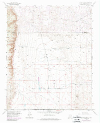
Editions of this 1954 Volcano Ranch Map
4 editions found
Other maps of this area

1888 · Bernalillo
USGS Topo · 1:125,000

1889 · Albuquerque
USGS Topo · 1:125,000

1893 · Albuquerque
USGS Topo · 1:125,000

1934 · West Albuquerque
USGS Topo · 1:24,000

1934 · Griegos
USGS Topo · 1:24,000

1938 · Albuquerque
USGS Topo · 1:62,500

1954 · Volcano Ranch
USGS Topo · 1:24,000

1954 · Loma Machete
USGS Topo · 1:24,000

1954 · Sky Village
USGS Topo · 1:24,000
1954 · Sky Village SE
USGS Topo · 1:24,000