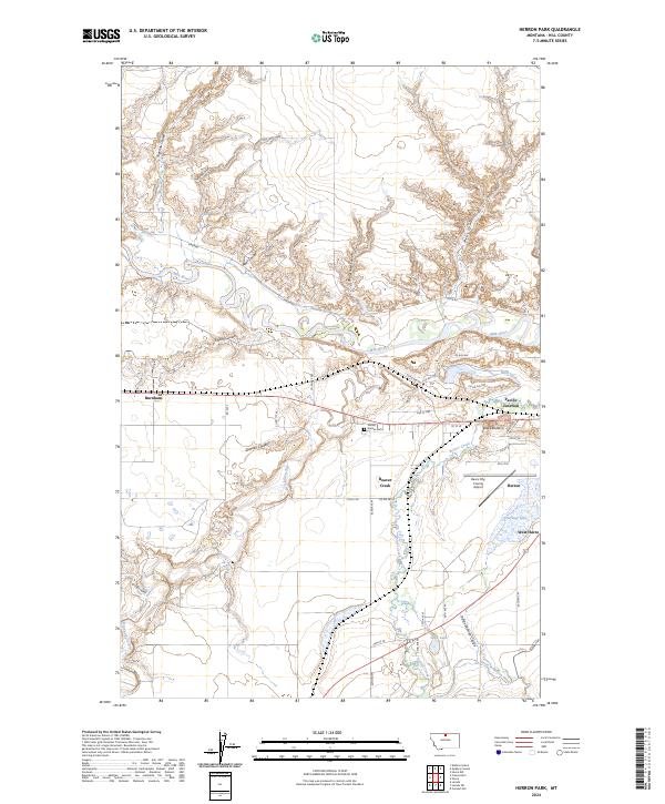
2024 Map of Herron Park
USGS Topo · Published 2024About this map
Milk River meanders across this landscape, defining a valley that has historically served as a vital corridor for transportation and water management. The terrain is marked by a complex network of coulees, such as Supernau Coulee and Neat Coulee, which drain the surrounding plains toward the river and its tributaries. Industrial and agricultural development is evident through features like the Meili Ditch and the Havre Irrigation Ditch, which redirect water to support local ranching and farming operations.
Find a feature on this map
42 named features on this map. Tap any name to fly to it.
Don’t see what you’re looking for? This feature index may not catch every label — zoom into the map to look around manually.
Map Details
Editions of this 2024 Herron Park Map
This is the sole edition of this map. No revisions or reprints were ever made.
Other maps of this area

1904 · Havre
USGS Topo · 1:62,500

1904 · Assinniboine
USGS Topo · 1:62,500

1912 · Thibedeau Lake
USGS Topo · 1:125,000

1953 · Havre
USGS Topo · 1:250,000

1957 · Havre
USGS Topo · 1:250,000

1958 · Havre
USGS Topo · 1:250,000

1959 · Laredo
USGS Topo · 1:62,500

1959 · Shambo
USGS Topo · 1:62,500

1964 · Havre NW
USGS Topo · 1:24,000

1964 · Havre
USGS Topo · 1:24,000