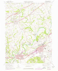
1969 Map of Hershey
USGS Topo · Published 1977About this map
Swatara Creek and the historic path of the Union Canal anchor this landscape during a period of significant suburban expansion and institutional development. The map details the core of Hershey, where Chocolate Ave and Caracas Ave define the town's grid near the High School and Stadium. To the west, the growing footprint of the Hershey Medical Center and the State Police Academy represent major regional landmarks of the era.
Find a feature on this map
79 named features on this map. Tap any name to fly to it.
Don’t see what you’re looking for? This feature index may not catch every label — zoom into the map to look around manually.
Map Details
Editions of this 1969 Hershey Map
4 editions found

Other maps of this area

1892 · Hummelstown
USGS Topo · 1:62,500

1892 · Harrisburg
USGS Topo · 1:62,500

1899 · Harrisburg
USGS Topo · 1:62,500

1906 · New Cumberland
USGS Topo · 1:62,500

1908 · Middletown
USGS Topo · 1:62,500

1924 · Hummelstown
USGS Topo · 1:62,500

1924 · Harrisburg
USGS Topo · 1:62,500

1943 · New Cumberland
USGS Topo · 1:62,500

1943 · Middletown
USGS Topo · 1:62,500

1943 · Harrisburg
USGS Topo · 1:62,500
Featured Places
- Hershey, Derry Township
- Rutherford, Swatara Township
- Skyline View, West Hanover Township
- Hummelstown, PA
- East Hanover Township, PA