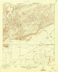
1923 Map of Hess Canyon
USGS Topo · Published 1946About this map
The Glass Mountains dominate this West Texas landscape, defined by a network of drainage systems like Gilliland Canyon and Burnt House Canyon that feed toward the southern plains. Surveyed in the early 1920s, the map reveals a remote ranching economy centered on isolated homesteads and family holdings. Significant landmarks such as Leonard Mtn and the Wolf Camp Hills provide vertical relief in an area primarily used for grazing. The distribution of properties, including the Kincaid-Taylor Ranch, Martin Ranch, and Youngblood Place, illustrates the large-scale land tenure typical of Brewster County. Primitive roads and trails connect these remote stations, with routes leading To Sanderson, To Fort Stockton, and To Marathon, tracing the essential transit paths for supplies and livestock in a pre-highway era.
Find a feature on this map
27 named features on this map. Tap any name to fly to it.
Don’t see what you’re looking for? This feature index may not catch every label — zoom into the map to look around manually.
Map Details
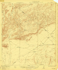
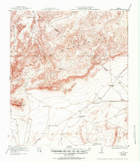
Editions of this 1923 Hess Canyon Map
4 editions found
Other maps of this area

1920 · Longfellow
USGS Topo · 1:125,000

1920 · Monument Spring
USGS Topo · 1:62,500

1920 · Marathon
USGS Topo · 1:62,500

1921 · Monument Spring
USGS Topo · 1:62,500

1921 · Marathon
USGS Topo · 1:62,500

1923 · Hess Canyon
USGS Topo · 1:62,500

1923 · Sierra Madera
USGS Topo · 1:62,500

1923 · Altuda
USGS Topo · 1:62,500

1928 · Comanche Spring
USGS Topo · 1:125,000

1929 · Hovey
USGS Topo · 1:125,000
Featured Places
- Youngblood Place, TX
- Old Parker Place, TX
- Old Oscar Nance Place, TX
- Pecos County, TX
- Brewster County, TX