
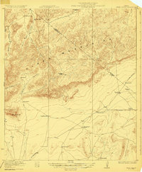
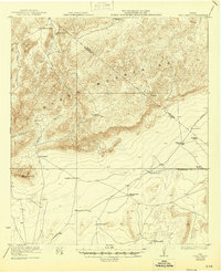
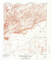
1923 Map of Hess Canyon
USGS Topo · Published 1923About this map
The Glass Mountains dominate this West Texas landscape, where deep drainages like Hess Canyon and Burnt House Canyon cut through the high terrain. Surveyed in the early 1920s, the map reveals an extensive network of remote cattle ranches and homesteads scattered across the high desert flats and foothills of Brewster and Pecos counties. Named places like the Old Oscar Nance Place and Old Ward Ranch reflect a pattern of settlement and land use tied to these isolated water sources and canyon sheltered areas.
Find a feature on this map
26 named features on this map. Tap any name to fly to it.
Don’t see what you’re looking for? This feature index may not catch every label — zoom into the map to look around manually.
Map Details
Editions of this 1923 Hess Canyon Map
4 editions found
Other maps of this area

1920 · Longfellow
USGS Topo · 1:125,000

1920 · Monument Spring
USGS Topo · 1:62,500

1920 · Marathon
USGS Topo · 1:62,500

1921 · Monument Spring
USGS Topo · 1:62,500

1921 · Marathon
USGS Topo · 1:62,500

1923 · Sierra Madera
USGS Topo · 1:62,500

1923 · Altuda
USGS Topo · 1:62,500

1928 · Comanche Spring
USGS Topo · 1:125,000

1929 · Hovey
USGS Topo · 1:125,000

1954 · Fort Stockton
USGS Topo · 1:250,000
Featured Places
- Youngblood Place, TX
- Old Parker Place, TX
- Old Oscar Nance Place, TX
- Pecos County, TX
- Brewster County, TX