
1956 Map of Hetch Hetchy Reservoir
USGS Topo · Published 1960About this map
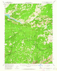
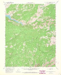
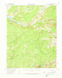
Hetch Hetchy Reservoir and the sheer granite walls of the Grand Canyon of the Tuolumne River dominate this mid-century survey of the northern backcountry. The map captures the infrastructure of the High Sierra before modern expansions, documenting the Spillway elevation and the winding course of the Tioga Road as it passes high-altitude landmarks like White Wolf and Dark Hole. In the south, the detail shifts to the iconic precipices of the Valley, including Yosemite Falls, North Dome, and Mount Watkins.
Find a feature on this map
80 named features on this map. Tap any name to fly to it.
Don’t see what you’re looking for? This feature index may not catch every label — zoom into the map to look around manually.
Map Details
Editions of this 1956 Hetch Hetchy Reservoir Map
4 editions found
Other maps of this area

1896 · Dardanelles
USGS Topo · 1:125,000

1897 · Yosemite
USGS Topo · 1:125,000

1898 · Dardanelles
USGS Topo · 1:125,000

1900 · Yosemite
USGS Topo · 1:125,000

1901 · Mt. Lyell
USGS Topo · 1:125,000

1903 · Yosemite
USGS Topo · 1:125,000

1909 · Yosemite
USGS Topo · 1:125,000

1909 · Bridgeport
USGS Topo · 1:125,000

1911 · Bridgeport
USGS Topo · 1:125,000

1920 · Bridgeport
USGS Topo · 1:125,000