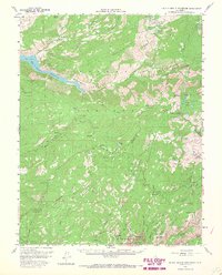
1956 Map of Hetch Hetchy Reservoir
USGS Topo · Published 1968About this map
The Grand Canyon of the Tuolumne River anchors this mid-century survey of the high Sierras, tracing the complex water systems that define the region. From the sprawling Hetch Hetchy Reservoir to the iconic Upper Yosemite Fall, the map documents the vertical landscape of Yosemite National Park during a period of expanding recreational infrastructure. The survey details the established camps at White Wolf and Yosemite Village, as well as the transition from early pioneer routes like the Old Big Oak Flat Road to the more modern Tioga Road.
Find a feature on this map
78 named features on this map. Tap any name to fly to it.
Don’t see what you’re looking for? This feature index may not catch every label — zoom into the map to look around manually.
Map Details
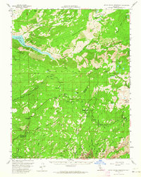
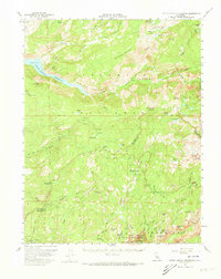
Editions of this 1956 Hetch Hetchy Reservoir Map
4 editions found

Other maps of this area

1896 · Dardanelles
USGS Topo · 1:125,000

1897 · Yosemite
USGS Topo · 1:125,000

1898 · Dardanelles
USGS Topo · 1:125,000

1900 · Yosemite
USGS Topo · 1:125,000

1901 · Mt. Lyell
USGS Topo · 1:125,000

1903 · Yosemite
USGS Topo · 1:125,000

1909 · Yosemite
USGS Topo · 1:125,000

1909 · Bridgeport
USGS Topo · 1:125,000

1911 · Bridgeport
USGS Topo · 1:125,000

1920 · Bridgeport
USGS Topo · 1:125,000