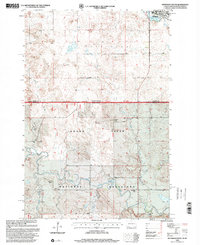
1998 Map of Hettinger South
USGS Topo · Published 2001About this map
Grand River National Grassland dominates the southern portion of this landscape, where the state line divides the plains of North Dakota from South Dakota. The topography is defined by the winding course of the Grand River and its major tributary, the North Fork Grand River. Just north of the border, the town of Hettinger sits near the shores of Mirror Lake, serving as a focal point for the region's scattered agricultural operations.
Find a feature on this map
17 named features on this map. Tap any name to fly to it.
Don’t see what you’re looking for? This feature index may not catch every label — zoom into the map to look around manually.
Map Details
Editions of this 1998 Hettinger South Map
This is the sole edition of this map. No revisions or reprints were ever made.
Other maps of this area

1953 · Dickinson
USGS Topo · 1:250,000

1954 · Lemmon
USGS Topo · 1:250,000

1957 · Dickinson
USGS Topo · 1:250,000

1957 · Lemmon
USGS Topo · 1:250,000

1974 · Hettinger North
USGS Topo · 1:24,000

1974 · Hettinger South
USGS Topo · 1:24,000

1974 · Cow Butte NE
USGS Topo · 1:24,000

1974 · Kid Rich Butte
USGS Topo · 1:24,000

1980 · Mott
USGS Topo · 1:100,000

1983 · Cow Butte SE
USGS Topo · 1:24,000