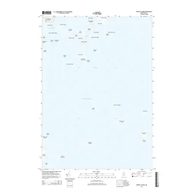
2014 Map of Hewett Island
USGS Topo · Published 2014About this map
Hewett Island and the surrounding Muscle Ridge Islands define this maritime landscape in Knox County, where the granite-rich terrain meets the Atlantic Ocean. The map documents a dense archipelago of islands and submerged hazards, such as Hurricane Ledge and Lower Gangway Ledge, which have historically dictated the navigation of the Muscle Ridge Channel. A protected anchorage at Home Harbor sits between Hewett Island and Mink Island, reflecting the shelter-seeking patterns of local coastal trade and fishing vessels. The presence of Hurricane Island is particularly significant, once known for its extensive granite quarrying operations that shaped the architectural history of the eastern seaboard. From the larger landmasses like Whitehead Island and Sprucehead Island to isolated outposts like Two Bush Island, the survey provides a detailed look at the ledge-strewn waters and rocky outcroppings that characterize this part of the Maine coast.
Find a feature on this map
45 named features on this map. Tap any name to fly to it.
Don’t see what you’re looking for? This feature index may not catch every label — zoom into the map to look around manually.
Map Details
Editions of this 2014 Hewett Island Map
This is the sole edition of this map. No revisions or reprints were ever made.
Other maps of this area

1904 · Vinalhaven
USGS Topo · 1:62,500

1904 · Tenants Harbor
USGS Topo · 1:62,500

1904 · Rockland
USGS Topo · 1:62,500

1905 · Penobscot Bay
USGS Topo · 1:125,000

1906 · Matinicus
USGS Topo · 1:62,500

1906 · Tennant Harbor
USGS Topo · 1:62,500

1906 · Rockland
USGS Topo · 1:62,500

1941 · Rockland
USGS Topo · 1:62,500

1941 · Vinalhaven
USGS Topo · 1:62,500

1944 · Vinalhaven
USGS Topo · 1:62,500