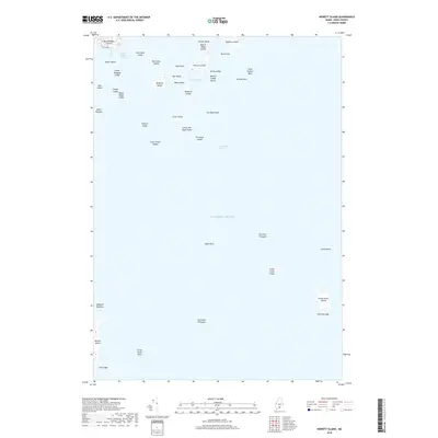
2018 Map of Hewett Island
USGS Topo · Published 2018About this map
Hewett Island and the neighboring Muscle Ridge Islands anchor this coastal Maine survey, which details a complex maritime landscape of granite outcroppings and sheltered passages. The terrain is characterized by numerous small islands and hazardous reefs, including Hurricane Island and Graffam Island, which frame the central Home Harbor. This seafaring geography is defined by its navigational channels, such as the Muscle Ridge Channel to the northwest and Two Bush Channel to the south.
Find a feature on this map
44 named features on this map. Tap any name to fly to it.
Don’t see what you’re looking for? This feature index may not catch every label — zoom into the map to look around manually.
Map Details
Editions of this 2018 Hewett Island Map
This is the sole edition of this map. No revisions or reprints were ever made.
Other maps of this area

1904 · Vinalhaven
USGS Topo · 1:62,500

1904 · Tenants Harbor
USGS Topo · 1:62,500

1904 · Rockland
USGS Topo · 1:62,500

1905 · Penobscot Bay
USGS Topo · 1:125,000

1906 · Matinicus
USGS Topo · 1:62,500

1906 · Tennant Harbor
USGS Topo · 1:62,500

1906 · Rockland
USGS Topo · 1:62,500

1941 · Rockland
USGS Topo · 1:62,500

1941 · Vinalhaven
USGS Topo · 1:62,500

1944 · Vinalhaven
USGS Topo · 1:62,500