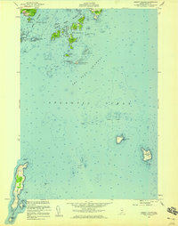
1955 Map of Hewett Island
USGS Topo · Published 1959About this map
Muscle Ridge Channel and Two Bush Channel dominate this coastal survey, where a complex archipelago of islands and submerged hazards defines the maritime corridor. Centered on Hewett Island, the map depicts the intricate shoreline of mid-century coastal Maine, featuring protected anchorages like Home Harbor and prominent navigation marks such as the U.S. Coast Guard Sta on Two Bush Island. The landscape is a mix of granite outcroppings and ledges, with many islands bearing family or descriptive names like Graffam Island, Mink Island, and Pleasant Island.
Find a feature on this map
52 named features on this map. Tap any name to fly to it.
Don’t see what you’re looking for? This feature index may not catch every label — zoom into the map to look around manually.
Map Details
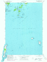
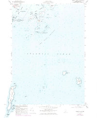
Editions of this 1955 Hewett Island Map
3 editions found
Other maps of this area

1904 · Vinalhaven
USGS Topo · 1:62,500

1904 · Tenants Harbor
USGS Topo · 1:62,500

1904 · Rockland
USGS Topo · 1:62,500

1905 · Penobscot Bay
USGS Topo · 1:125,000

1906 · Matinicus
USGS Topo · 1:62,500

1906 · Tennant Harbor
USGS Topo · 1:62,500

1906 · Rockland
USGS Topo · 1:62,500

1941 · Rockland
USGS Topo · 1:62,500

1941 · Vinalhaven
USGS Topo · 1:62,500

1944 · Vinalhaven
USGS Topo · 1:62,500