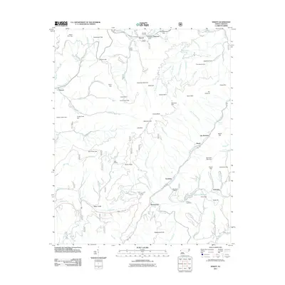
2011 Map of Hewitt
USGS Topo · Published 2011About this map
The Nantahala River carves a deep path through Graham County in this 2011 survey, serving as the central artery for mountain commerce and geography. Along its banks, the settlement of Hewitt sits near Talc Mountain, reflecting the area's geological and industrial roots. The landscape is defined by its dramatic relief, featuring prominent peaks like Cheoah Bald and Briertown Mountain, alongside numerous gaps such as Stecoah Gap and Sweetwater Gap. For genealogists and local historians, the map identifies specific family-named sites including Randolph Cemetery and Jenkins Cemetery near Stecoah. Infrastructure is marked by the presence of Queens Creek Dam and its reservoir, Queens Creek Lake, which together with the Winding Stairs topography, illustrate the complex relationship between the steep river valleys and human engineering. Small communities like Beechertown, Hidetown, and Fairview are connected by a network of forest roads and local lanes including Green Gap Rd and Ledbetter Rd.
Find a feature on this map
116 named features on this map. Tap any name to fly to it.
Don’t see what you’re looking for? This feature index may not catch every label — zoom into the map to look around manually.
Map Details
Editions of this 2011 Hewitt Map
This is the sole edition of this map. No revisions or reprints were ever made.
Other maps of this area

1933 · Bushnell
USGS Topo · 1:62,500

1935 · Robbinsville
USGS Topo · 1:24,000

1935 · Fontana
USGS Topo · 1:24,000

1935 · Burningtown Bald
USGS Topo · 1:24,000

1935 · Topton
USGS Topo · 1:24,000

1935 · Wayah Bald
USGS Topo · 1:48,000

1935 · Andrews
USGS Topo · 1:24,000

1936 · Proctor
USGS Topo · 1:24,000

1936 · Wesser
USGS Topo · 1:24,000
1936 · Hewitt
USGS Topo · 1:24,000