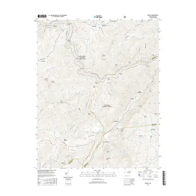
2016 Map of Hewitt
USGS Topo · Published 2016About this map
Stecoah and the surrounding high-elevation peaks of the Cheoah Mountains define this section of the Nantahala National Forest. The landscape is dominated by the dramatic relief of the Nantahala Gorge, where the Nantahala River cuts deep between Tale Mountain and Briertown Mtn. This terrain is intersected by the Appalachian National Scenic Trail, which traverses prominent high points like Cheoah Bald and Swim Bald along the Graham and Swain county lines.
Find a feature on this map
104 named features on this map. Tap any name to fly to it.
Don’t see what you’re looking for? This feature index may not catch every label — zoom into the map to look around manually.
Map Details
Editions of this 2016 Hewitt Map
This is the sole edition of this map. No revisions or reprints were ever made.
Other maps of this area

1933 · Bushnell
USGS Topo · 1:62,500

1935 · Robbinsville
USGS Topo · 1:24,000

1935 · Fontana
USGS Topo · 1:24,000

1935 · Burningtown Bald
USGS Topo · 1:24,000

1935 · Topton
USGS Topo · 1:24,000

1935 · Wayah Bald
USGS Topo · 1:48,000

1935 · Andrews
USGS Topo · 1:24,000

1936 · Proctor
USGS Topo · 1:24,000

1936 · Wesser
USGS Topo · 1:24,000
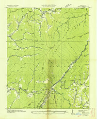
1936 · Hewitt
USGS Topo · 1:24,000