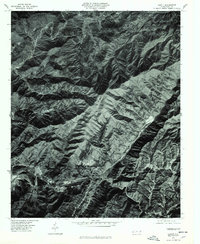
1976 Map of Hewitt
USGS Topo · Published 1978About this map
Nantahala River carves a deep path through the southern Appalachian landscape, anchoring a corridor of small settlements including Hewitt and Nantahala. This orthophotographic study, based on 1976 aerial imagery, reveals the concentrated development along the river banks and transport lines in contrast to the steep, forested slopes of the Cheoah Mountains and Deep Gap Mountain. Small mountain communities like Stecoah, Hidetown, and Beechertown are visible where the terrain yields to flatter ground, showing the traditional pattern of highland habitation. The high-altitude photography provides a clear look at land use and forest cover across the Cheoah area during the mid-1970s, making it a valuable tool for examining environmental change and historical land ownership in this part of Western North Carolina.
Find a feature on this map
9 named features on this map. Tap any name to fly to it.
Don’t see what you’re looking for? This feature index may not catch every label — zoom into the map to look around manually.
Map Details
Editions of this 1976 Hewitt Map
This is the sole edition of this map. No revisions or reprints were ever made.
Other maps of this area

1933 · Bushnell
USGS Topo · 1:62,500

1935 · Robbinsville
USGS Topo · 1:24,000

1935 · Fontana
USGS Topo · 1:24,000

1935 · Burningtown Bald
USGS Topo · 1:24,000

1935 · Topton
USGS Topo · 1:24,000

1935 · Wayah Bald
USGS Topo · 1:48,000

1935 · Andrews
USGS Topo · 1:24,000

1936 · Proctor
USGS Topo · 1:24,000

1936 · Wesser
USGS Topo · 1:24,000
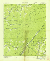
1936 · Hewitt
USGS Topo · 1:24,000