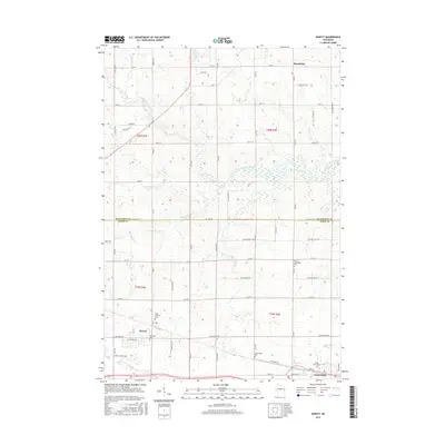
2015 Map of Hewitt
USGS Topo · Published 2015About this map
Rozellville sits at the northern edge of this landscape, where the boundary between Marathon and Wood counties divides a region defined by its creek-fed farmland. The topography is shaped by a network of small waterways, including the winding Little Eau Pleine River and tributaries like Scheuer Cr and Squaw Cr. These drainage patterns influenced the placement of early settlements and the grid of section roads like Co Rd C and Stadt Ave N.
Find a feature on this map
64 named features on this map. Tap any name to fly to it.
Don’t see what you’re looking for? This feature index may not catch every label — zoom into the map to look around manually.
Map Details
Editions of this 2015 Hewitt Map
This is the sole edition of this map. No revisions or reprints were ever made.
Other maps of this area

1902 · Marathon
USGS Topo · 1:125,000

1953 · Marathon
USGS Topo · 1:48,000

1953 · Stratford
USGS Topo · 1:48,000

1953 · Eau Claire
USGS Topo · 1:250,000

1954 · Marshfield
USGS Topo · 1:62,500

1955 · Green Bay
USGS Topo · 1:250,000

1956 · Milladore
USGS Topo · 1:48,000

1958 · Eau Claire
USGS Topo · 1:250,000

1963 · Marathon
USGS Topo · 1:62,500

1963 · Stratford
USGS Topo · 1:62,500