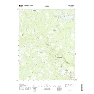
2019 Map of Hewlett
USGS Topo · Published 2019About this map
The North Anna River snakes through this rural landscape on the border of Hanover and Caroline Counties, anchoring a region defined by its watercourses and small crossroads. The southern portion of the map includes part of the Richmond National Battlefield Park, preserving ground significant to Civil War history. Moving north, the character of the terrain shifts from the low-lying Pug Swamp and Catlett Swamp toward the planned residential developments surrounding Lake Caroline and its extensive network of named streets like John Paul Jones Dr.
Find a feature on this map
84 named features on this map. Tap any name to fly to it.
Don’t see what you’re looking for? This feature index may not catch every label — zoom into the map to look around manually.
Map Details
Editions of this 2019 Hewlett Map
This is the sole edition of this map. No revisions or reprints were ever made.
Other maps of this area

1887 · Spottsylvania
USGS Topo · 1:125,000

1889 · Fredericksburg
USGS Topo · 1:125,000

1890 · Goochland
USGS Topo · 1:125,000

1892 · Fredericksburg
USGS Topo · 1:125,000

1892 · Spottsylvania
USGS Topo · 1:125,000

1892 · Goochland
USGS Topo · 1:125,000

1894 · Fredericksburg
USGS Topo · 1:125,000

1918 · Doswell
USGS Topo · 1:62,500

1942 · Woodford
USGS Topo · 1:31,680

1942 · Ladysmith
USGS Topo · 1:31,680