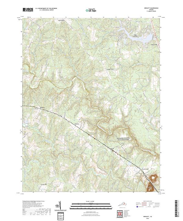
2022 Map of Hewlett
USGS Topo · Published 2022About this map
Richmond National Battlefield Park preserves a critical portion of the Civil War landscape where the North Anna River and the Little River converge in rural Virginia. This modern survey illustrates the proximity of historical defense lines to the communities of Hewlett and Noel, which were vital rail stops along the route to Richmond. The northern reaches of the map are defined by the suburban development of Lake Caroline, while the southern half remains more characteristic of the region's agricultural and marshy origins, featuring landmarks like Pug Swamp and Coates Swamp. This area serves as a significant record for those tracing the intersection of 19th-century military history with modern residential growth near the Caroline and Hanover county line. The drainage of Polecat Cr and Stevens Mill Run further defines the low-lying hydrology that once dictated troop movements and early settlement placement in Golansville and Chilesburg.
Find a feature on this map
85 named features on this map. Tap any name to fly to it.
Don’t see what you’re looking for? This feature index may not catch every label — zoom into the map to look around manually.
Map Details
Editions of this 2022 Hewlett Map
This is the sole edition of this map. No revisions or reprints were ever made.
Other maps of this area

1887 · Spottsylvania
USGS Topo · 1:125,000

1889 · Fredericksburg
USGS Topo · 1:125,000

1890 · Goochland
USGS Topo · 1:125,000

1892 · Fredericksburg
USGS Topo · 1:125,000

1892 · Spottsylvania
USGS Topo · 1:125,000

1892 · Goochland
USGS Topo · 1:125,000

1894 · Fredericksburg
USGS Topo · 1:125,000

1918 · Doswell
USGS Topo · 1:62,500

1942 · Woodford
USGS Topo · 1:31,680

1942 · Ladysmith
USGS Topo · 1:31,680