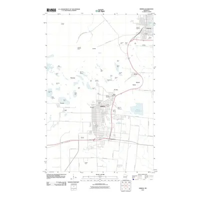
2010 Map of Hibbing
USGS Topo · Published 2010About this map
Hibbing and Chisholm anchor this 2010 topographic record of Minnesota’s Iron Range, a landscape profoundly shaped by over a century of open-pit mining. The geography is defined by an massive industrial corridor of mines extending through Mahoning, Kitzville, and Brooklyn. Notable sites including the Mahoning-Hull-Rust Mine and the Hull Rust Mine View highlight the scale of extraction that once dominated the local economy. Between these deep excavations, the remnants of older community layouts are visible at Kerr Location and Scranton.
Find a feature on this map
82 named features on this map. Tap any name to fly to it.
Don’t see what you’re looking for? This feature index may not catch every label — zoom into the map to look around manually.
Map Details
Editions of this 2010 Hibbing Map
This is the sole edition of this map. No revisions or reprints were ever made.
Other maps of this area

1951 · Hibbing
USGS Topo · 1:24,000

1951 · Buhl
USGS Topo · 1:24,000

1952 · Keewatin
USGS Topo · 1:24,000

1952 · Riley
USGS Topo · 1:24,000

1952 · Silica
USGS Topo · 1:24,000

1952 · Little Swan
USGS Topo · 1:24,000

1954 · Hibbing
USGS Topo · 1:250,000

1955 · Dewey Lake SE
USGS Topo · 1:24,000

1955 · Dewey Lake
USGS Topo · 1:24,000

1957 · Hibbing
USGS Topo · 1:250,000