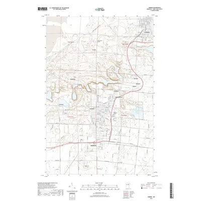
2019 Map of Hibbing
USGS Topo · Published 2019About this map
Hibbing and Chisholm anchor this map of the Mesabi Range, where the landscape is profoundly shaped by its industrial heritage. The massive footprints of operations at Mahoning, Scranton, and Kerr dominate the central terrain, illustrating the scale of open-pit mining that defined the region's development. These excavations create a complex topography adjacent to established residential areas like Kitzville, Mitchell, and Brooklyn.
Find a feature on this map
51 named features on this map. Tap any name to fly to it.
Don’t see what you’re looking for? This feature index may not catch every label — zoom into the map to look around manually.
Map Details
Editions of this 2019 Hibbing Map
This is the sole edition of this map. No revisions or reprints were ever made.
Other maps of this area
1951 · Hibbing
USGS Topo · 1:24,000
1951 · Buhl
USGS Topo · 1:24,000
1952 · Keewatin
USGS Topo · 1:24,000
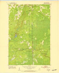
1952 · Riley
USGS Topo · 1:24,000
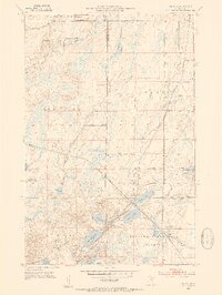
1952 · Silica
USGS Topo · 1:24,000
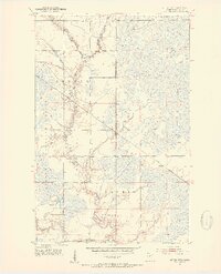
1952 · Little Swan
USGS Topo · 1:24,000
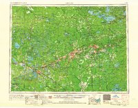
1954 · Hibbing
USGS Topo · 1:250,000
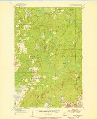
1955 · Dewey Lake SE
USGS Topo · 1:24,000
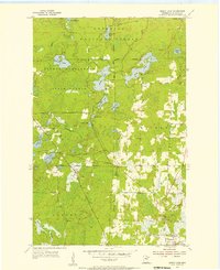
1955 · Dewey Lake
USGS Topo · 1:24,000
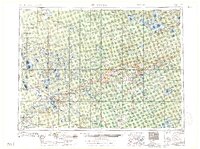
1957 · Hibbing
USGS Topo · 1:250,000