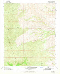
1967 Map of Hibernia Peak
USGS Topo · Published 1969About this map
Hualapai Mountains terrain dominates this mid-century topographic survey, where high summits and deep drainage networks define the northern Arizona landscape. The map centers on the namesake Hibernia Peak, a prominent elevation overlooking a system of deep ravines including Hibernia Canyon and Bull Canyon. Evidence of early prospectors and mineral exploration is scattered across the slopes, noted by a Prospect and a Mine label near Orejano Peak. The desert environment is further characterized by its ephemeral water systems, where Wagon Wheel Wash, Blue Tank Wash, and Clipper Wash carry seasonal runoff through the highlands. A few reliable water sources are marked, such as Hair Spring and another Spring near Pilgrim Wash. The area is accessible only via a network of Jeep Trails, underscoring the remote and undeveloped nature of this portion of Mohave County during the late 1960s.
Find a feature on this map
17 named features on this map. Tap any name to fly to it.
Don’t see what you’re looking for? This feature index may not catch every label — zoom into the map to look around manually.
Map Details
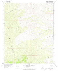
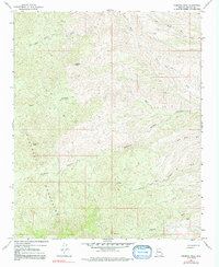
Editions of this 1967 Hibernia Peak Map
3 editions found
Other maps of this area

1886 · Diamond Creek
USGS Topo · 1:250,000

1892 · Diamond Creek
USGS Topo · 1:250,000

1923 · Signal
USGS Topo · 1:250,000

1942 · Signal
USGS Topo · 1:250,000

1948 · Williams
USGS Topo · 1:250,000

1950 · Prescott
USGS Topo · 1:250,000

1954 · Prescott
USGS Topo · 1:250,000

1954 · Williams
USGS Topo · 1:250,000

1956 · Williams
USGS Topo · 1:250,000

1958 · Prescott
USGS Topo · 1:250,000