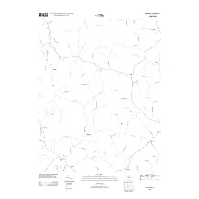
2013 Map of Hibernia
USGS Topo · Published 2013About this map
The crossroads community of Hibernia sits at the center of this rural landscape, where local roads like Hibernia Ridge Rd and Wall Pike Rd connect scattered family farmsteads. The terrain is defined by the drainage systems of Otter Cr to the north and Big Brush Cr to the south, creating a series of ridges and hollows that have dictated settlement patterns for generations. To the east, the small hamlets of Badger and Maple anchor the local geography near the banks of Mill Cr.
Find a feature on this map
85 named features on this map. Tap any name to fly to it.
Don’t see what you’re looking for? This feature index may not catch every label — zoom into the map to look around manually.
Map Details
Editions of this 2013 Hibernia Map
This is the sole edition of this map. No revisions or reprints were ever made.
Other maps of this area
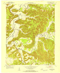
1953 · Howardstown
USGS Topo · 1:24,000
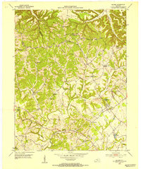
1953 · Saloma
USGS Topo · 1:24,000
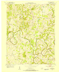
1953 · Hudgins
USGS Topo · 1:24,000
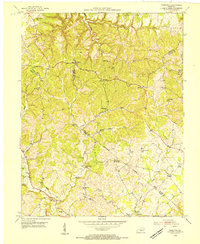
1953 · Hibernia
USGS Topo · 1:24,000
1953 · Summersville
USGS Topo · 1:24,000
1953 · Magnolia
USGS Topo · 1:24,000
1953 · Hodgenville
USGS Topo · 1:24,000
1953 · Raywick
USGS Topo · 1:24,000
1954 · Greensburg
USGS Topo · 1:24,000
1957 · Winchester
USGS Topo · 1:250,000