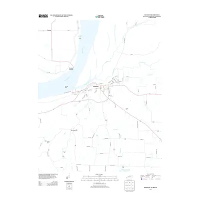
2013 Map of Hickman
USGS Topo · Published 2013About this map
The Mississippi River defines the western edge of this Kentucky-Missouri-Tennessee border region, where the town of Hickman sits perched on the bluffs overlooking the Hickman Bend. This modern survey records a landscape shaped by long-standing river commerce and agriculture, featuring the Old Hickman Ferry Xing and multiple river landings such as Dorena Landing and Parker Landing. Beyond the riverbanks, the terrain is cut by several winding waterways including Bayou de Chien and Little Mud Cr, which drain the lowlands toward the Reelfoot Indian Creek Number Ten Lake in the south. Genealogists will find numerous family-associated markers, from the Hubbard Cem and Barnett Cem to the outlying settlements of Brownsville and Wilson Hill, all connected by a network of rural roads and levees protecting the floodplain.
Find a feature on this map
80 named features on this map. Tap any name to fly to it.
Don’t see what you’re looking for? This feature index may not catch every label — zoom into the map to look around manually.
Map Details
Editions of this 2013 Hickman Map
This is the sole edition of this map. No revisions or reprints were ever made.
Other maps of this area

1925 · Reelfoot Lake
USGS Topo · 1:62,500

1939 · Reelfoot Lake
USGS Topo · 1:62,500

1939 · Hickman
USGS Topo · 1:62,500

1939 · Bayouville
USGS Topo · 1:62,500

1951 · Cayce
USGS Topo · 1:24,000

1951 · Bondurant
USGS Topo · 1:24,000

1951 · Oakton
USGS Topo · 1:24,000

1951 · Hickman
USGS Topo · 1:24,000

1951 · Wolf Island
USGS Topo · 1:24,000

1954 · Union City
USGS Topo · 1:24,000