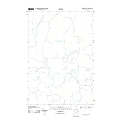
2011 Map of Hickman Lake
USGS Topo · Published 2011About this map
Fence River and the Mitchigan River converge in this remote timber and water region of the Upper Peninsula. The landscape is defined by a dense network of forest roads and logging paths, including Camp Rd, Mead Logging Rd, and N Fence River Rd, which provide access to the area's numerous glacial lakes and riparian corridors. This 2011 survey reveals the interior wilderness of Iron County, where isolated settlements like Dishaws Camp stand as landmarks in the deep woods.
Find a feature on this map
25 named features on this map. Tap any name to fly to it.
Don’t see what you’re looking for? This feature index may not catch every label — zoom into the map to look around manually.
Map Details
Editions of this 2011 Hickman Lake Map
This is the sole edition of this map. No revisions or reprints were ever made.
Other maps of this area

1895 · Ned Lake
USGS Topo · 1:62,500

1899 · Sagola
USGS Topo · 1:62,500

1899 · Witbeck
USGS Topo · 1:62,500

1899 · Crystal Falls
USGS Topo · 1:62,500

1945 · Kelso Junction
USGS Topo · 1:24,000

1947 · Kiernan
USGS Topo · 1:24,000

1947 · Kelso Junction
USGS Topo · 1:24,000

1955 · Witch Lake
USGS Topo · 1:24,000

1955 · Ned Lake
USGS Topo · 1:62,500

1955 · Witch Lake NE
USGS Topo · 1:24,000