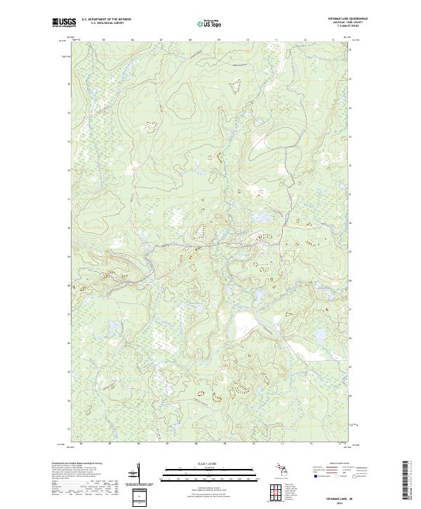
2023 Map of Hickman Lake
USGS Topo · Published 2023About this map
Fence River and its numerous tributaries dominate this Iron County landscape, revealing a remote terrain shaped by water and timber operations. The intricate drainage network includes the East Branch Fence River, Witch Creek, and Smith Creek, which converge amidst a dense collection of small glacial lakes such as Bates Lake and Dishaw Lake. The presence of the Michigamme River on the eastern edge further underscores the region's importance to the local watershed.
Find a feature on this map
28 named features on this map. Tap any name to fly to it.
Don’t see what you’re looking for? This feature index may not catch every label — zoom into the map to look around manually.
Map Details
Editions of this 2023 Hickman Lake Map
This is the sole edition of this map. No revisions or reprints were ever made.
Other maps of this area

1895 · Ned Lake
USGS Topo · 1:62,500

1899 · Sagola
USGS Topo · 1:62,500

1899 · Witbeck
USGS Topo · 1:62,500

1899 · Crystal Falls
USGS Topo · 1:62,500

1945 · Kelso Junction
USGS Topo · 1:24,000

1947 · Kiernan
USGS Topo · 1:24,000

1947 · Kelso Junction
USGS Topo · 1:24,000

1955 · Witch Lake
USGS Topo · 1:24,000

1955 · Ned Lake
USGS Topo · 1:62,500

1955 · Witch Lake NE
USGS Topo · 1:24,000