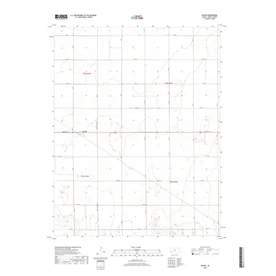
2018 Map of Hickok
USGS Topo · Published 2018About this map
Hickok sits at the intersection of Moscow Hickok Rd and E Oklahoma Ave, serving as the central hub of this agricultural landscape in Grant County. The surrounding terrain is organized by a precise grid of rural thoroughfares, including Co Rd 10 and Co Rd 17, which facilitate movement between the vast sections of Sherman Township. This settlement pattern reflects the enduring importance of the township and range system, where remote residences are spaced out across the plains, each connected by a network of county roads like Co Rd 15. The lack of significant water features or varying topography emphasizes the human-made geometry imposed on the land for large-scale farming and local transport in the late 2010s.
Find a feature on this map
15 named features on this map. Tap any name to fly to it.
Don’t see what you’re looking for? This feature index may not catch every label — zoom into the map to look around manually.
Map Details
Editions of this 2018 Hickok Map
This is the sole edition of this map. No revisions or reprints were ever made.
Other maps of this area

1891 · Larned
USGS Topo · 1:125,000

1900 · Lakin
USGS Topo · 1:125,000

1944 · Moscow
USGS Topo · 1:62,500

1945 · Moscow
USGS Topo · 1:62,500

1955 · Dodge City
USGS Topo · 1:250,000

1958 · Dodge City
USGS Topo · 1:250,000

1959 · Dodge City
USGS Topo · 1:250,000

1959 · Ulysses
USGS Topo · 1:24,000

1959 · Ulysses NE
USGS Topo · 1:24,000

1959 · Hickok NW
USGS Topo · 1:24,000