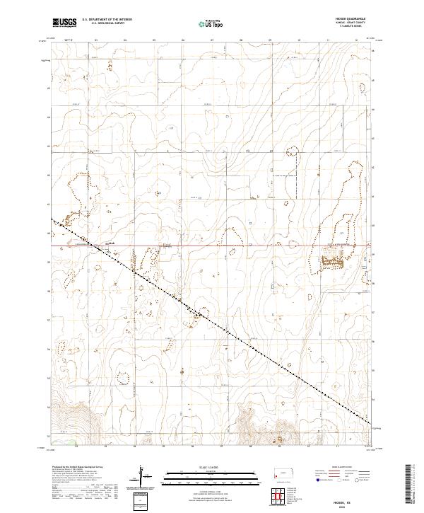
2022 Map of Hickok
USGS Topo · Published 2022About this map
Hickok serves as the central point of interest in this section of Grant County, where the landscape is defined by the rigid geometry of the Public Land Survey System. The map documents the intersection of local transit and land management, centered on the junction of E Oklahoma Ave and Moscow-Hickok Rd. This area of western Kansas is characterized by a high-plains topography that supports agricultural development through a dense network of numbered section roads, including Co Rd 9 and Co Rd 11. The grid of township lines, such as t28s r36w and t29s r35w, illustrates the systematic organization of the territory, providing a clear reference for genealogical researchers and land-use historians tracking property boundaries and rural settlement patterns in the twenty-first century.
Find a feature on this map
15 named features on this map. Tap any name to fly to it.
Don’t see what you’re looking for? This feature index may not catch every label — zoom into the map to look around manually.
Map Details
Editions of this 2022 Hickok Map
This is the sole edition of this map. No revisions or reprints were ever made.
Other maps of this area

1891 · Larned
USGS Topo · 1:125,000

1900 · Lakin
USGS Topo · 1:125,000

1944 · Moscow
USGS Topo · 1:62,500

1945 · Moscow
USGS Topo · 1:62,500

1955 · Dodge City
USGS Topo · 1:250,000

1958 · Dodge City
USGS Topo · 1:250,000

1959 · Dodge City
USGS Topo · 1:250,000

1959 · Ulysses
USGS Topo · 1:24,000

1959 · Ulysses NE
USGS Topo · 1:24,000

1959 · Hickok NW
USGS Topo · 1:24,000