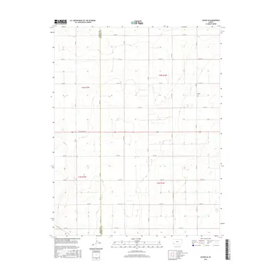
2016 Map of Hickok SE
USGS Topo · Published 2016About this map
The western high plains of Kansas are defined by a meticulous section-line road grid in this 2016 survey, where the boundary between Grant Co and Haskell Co runs vertically through a landscape of expansive agricultural plots. The terrain is largely dominated by large-scale farming infrastructure, with few named landmarks aside from the Canaan Cem in the northeast. This small cemetery serves as a vital point of interest for genealogists tracing family roots in Sherman Township. Major thoroughfares such as E Oklahoma Ave and several county routes, including Co Rd 100 and Co Rd 150, provide the primary framework for movement across this rural landscape. The map illustrates the transition between Townships 28 and 29 South, showing how the land was subdivided and managed into the early 21st century.
Find a feature on this map
21 named features on this map. Tap any name to fly to it.
Don’t see what you’re looking for? This feature index may not catch every label — zoom into the map to look around manually.
Map Details
Editions of this 2016 Hickok SE Map
This is the sole edition of this map. No revisions or reprints were ever made.
Other maps of this area

1891 · Larned
USGS Topo · 1:125,000

1896 · Garden
USGS Topo · 1:125,000

1900 · Lakin
USGS Topo · 1:125,000

1944 · Moscow
USGS Topo · 1:62,500

1945 · Moscow
USGS Topo · 1:62,500

1955 · Dodge City
USGS Topo · 1:250,000

1958 · Dodge City
USGS Topo · 1:250,000

1959 · Dodge City
USGS Topo · 1:250,000

1959 · Hickok NW
USGS Topo · 1:24,000

1959 · Hickok
USGS Topo · 1:24,000