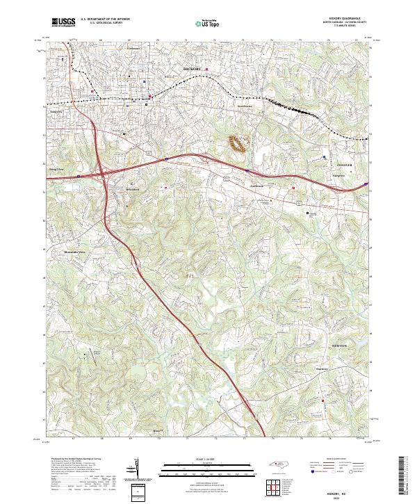
2022 Map of Hickory
USGS Topo · Published 2022About this map
Hickory and its surrounding communities in Catawba County are defined by a dense network of suburban growth and institutional landmarks. Lenoir-Rhyne University sits at the heart of the city's northern residential district, while Catawba Valley Community College serves the southeastern corridor near Fairbrook. The landscape is etched by the branching paths of the Henry Fork and Jacob Fork, which converge toward the South Fork Catawba River at the southern edge of the sheet.
Find a feature on this map
112 named features on this map. Tap any name to fly to it.
Don’t see what you’re looking for? This feature index may not catch every label — zoom into the map to look around manually.
Map Details
Editions of this 2022 Hickory Map
This is the sole edition of this map. No revisions or reprints were ever made.
Other maps of this area

1895 · Hickory
USGS Topo · 1:125,000

1953 · Charlotte
USGS Topo · 1:250,000

1954 · Charlotte
USGS Topo · 1:250,000

1960 · Charlotte
USGS Topo · 1:250,000

1962 · Charlotte
USGS Topo · 1:250,000
1970 · Banoak
USGS Topo · 1:24,000
1970 · Maiden
USGS Topo · 1:24,000

1970 · Bethlehem
USGS Topo · 1:24,000

1970 · Newton
USGS Topo · 1:24,000
1970 · Granite Falls
USGS Topo · 1:24,000