
1951 Map of Hickory
USGS Topo · Published 1956About this map
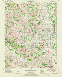
The Illinois Central Railroad corridor serves as the primary artery for Graves County in the early 1950s, connecting the village of Hickory to the northern edge of Mayfield. This agricultural and industrial landscape is marked by numerous family-named burial grounds and local institutions, including the North Mt Zion Church and Pleasant Grove Church. Clay extraction is a visible part of the local economy, with several clay pits and a larger clay pit near Hickory indicating the region's brick and ceramic resources.
Find a feature on this map
47 named features on this map. Tap any name to fly to it.
Don’t see what you’re looking for? This feature index may not catch every label — zoom into the map to look around manually.
Map Details
Editions of this 1951 Hickory Map
2 editions found
Other maps of this area

1936 · Farmington
USGS Topo · 1:24,000

1936 · Melber
USGS Topo · 1:24,000

1936 · Symsonia
USGS Topo · 1:24,000

1936 · Westplains
USGS Topo · 1:24,000

1951 · Farmington
USGS Topo · 1:24,000

1951 · Melber
USGS Topo · 1:24,000
1951 · Symsonia
USGS Topo · 1:24,000
1951 · Westplains
USGS Topo · 1:24,000

1951 · Hickory
USGS Topo · 1:62,500

1952 · Mayfield
USGS Topo · 1:24,000