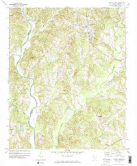
1972 Map of Hickory Grove
USGS Topo · Published 1974About this map
The Southern railroad line anchors the settlement of Hickory Grove in this rural York County landscape, where small communities are defined by their proximity to the many creek branches feeding into the Broad River. The terrain transitions from the river lowlands near Mud Island and Worth Mtn to an upland interior dotted with numerous country churches, reflecting a deeply established local social fabric. Significant landmarks like Smith Ford and Irene Bridge suggest historical crossing points along the river corridor. Moving south toward Hopewell and Hoodtown, the map reveals a pattern of family-named water bodies such as McDaniel Branch and Plexico Branch, providing valuable clues for genealogists tracing early landholdings. This topographic record shows the area just as modern infrastructure, like the Substation and Water tank at Hickory Grove, began to integrate with the traditional agricultural and rail-oriented layout of the Piedmont.
Find a feature on this map
41 named features on this map. Tap any name to fly to it.
Don’t see what you’re looking for? This feature index may not catch every label — zoom into the map to look around manually.
Map Details
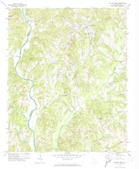
Editions of this 1972 Hickory Grove Map
2 editions found
Other maps of this area

1906 · Kings Mountain
USGS Topo · 1:62,500

1907 · Sharon
USGS Topo · 1:62,500

1908 · Kings Mountain
USGS Topo · 1:62,500

1909 · Gaffney
USGS Topo · 1:62,500

1941 · Spartanburg
USGS Topo · 1:250,000

1953 · Spartanburg
USGS Topo · 1:250,000

1953 · Charlotte
USGS Topo · 1:250,000

1954 · Charlotte
USGS Topo · 1:250,000

1960 · Charlotte
USGS Topo · 1:250,000

1960 · Spartanburg
USGS Topo · 1:250,000