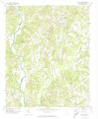
1972 Map of Hickory Grove
USGS Topo · Published 1974About this map
The Southern railroad corridor anchors the eastern edge of this York County landscape, where the town of Hickory Grove serves as the primary municipal center. The area is defined by a dense network of watercourses, including Bullock Creek, Abingdon Creek, and the Broad River, which forms the western boundary between Cherokee and York counties. This 1972 survey reveals a rural society built around small hubs of worship and education, featuring the High Sch in town and numerous country churches such as Ebenezer Ch, Mt Zion Ch, and Shady Grove Ch.
Find a feature on this map
40 named features on this map. Tap any name to fly to it.
Don’t see what you’re looking for? This feature index may not catch every label — zoom into the map to look around manually.
Map Details
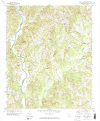
Editions of this 1972 Hickory Grove Map
2 editions found
Other maps of this area

1906 · Kings Mountain
USGS Topo · 1:62,500

1907 · Sharon
USGS Topo · 1:62,500

1908 · Kings Mountain
USGS Topo · 1:62,500

1909 · Gaffney
USGS Topo · 1:62,500

1941 · Spartanburg
USGS Topo · 1:250,000

1953 · Spartanburg
USGS Topo · 1:250,000

1953 · Charlotte
USGS Topo · 1:250,000

1954 · Charlotte
USGS Topo · 1:250,000

1960 · Charlotte
USGS Topo · 1:250,000

1960 · Spartanburg
USGS Topo · 1:250,000