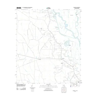
2012 Map of Hickory
USGS Topo · Published 2012About this map
The complex wetland systems of the W Pearl River and the Pearl River Canal define this landscape on the border of Louisiana and Mississippi. The area is characterized by a network of waterways including Bennet Bayou, Little Holmes Bayou, and the winding Old River, which separate land masses such as Holmes Island and Doghead Island. Near the settlement of Hickory, the land transitions from riverine swamps to more established homesteads and crossroads.
Find a feature on this map
99 named features on this map. Tap any name to fly to it.
Don’t see what you’re looking for? This feature index may not catch every label — zoom into the map to look around manually.
Map Details
Editions of this 2012 Hickory Map
This is the sole edition of this map. No revisions or reprints were ever made.
Other maps of this area

1914 · Nicholson
USGS Topo · 1:62,500

1921 · Nicholson
USGS Topo · 1:62,500

1935 · Slidell
USGS Topo · 1:62,500

1939 · Slidell
USGS Topo · 1:62,500

1941 · Honey Island
USGS Topo · 1:31,680

1942 · Talisheek
USGS Topo · 1:31,680

1942 · Walkiah Bluff
USGS Topo · 1:31,680

1950 · Haaswood
USGS Topo · 1:31,680

1950 · Slidell
USGS Topo · 1:62,500

1953 · Mobile
USGS Topo · 1:250,000