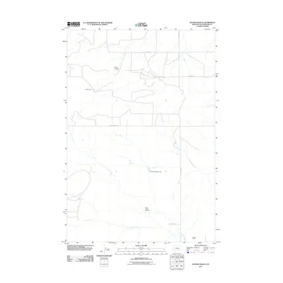
2011 Map of Hickson Ranch
USGS Topo · Published 2011About this map
Hickson Ranch and Mackey Ranch anchor this landscape in Yellowstone County, where the rangeland is defined by a network of drainage coulees and seasonal watercourses. The drainage of Twelve Mile Creek and Five Mile Creek cross the territory, punctuated by infrastructure like the Dover D Dam Number 1 and R Burton Number 1 Dam. These features illustrate the vital role of water management in supporting the ranching operations that characterize this part of Montana.
Find a feature on this map
13 named features on this map. Tap any name to fly to it.
Don’t see what you’re looking for? This feature index may not catch every label — zoom into the map to look around manually.
Map Details
Editions of this 2011 Hickson Ranch Map
This is the sole edition of this map. No revisions or reprints were ever made.
Other maps of this area

1893 · Huntley
USGS Topo · 1:125,000

1954 · Billings
USGS Topo · 1:250,000

1954 · Roundup
USGS Topo · 1:250,000

1956 · Rattlesnake Butte
USGS Topo · 1:24,000

1956 · Acton
USGS Topo · 1:24,000

1956 · Hickson Ranch
USGS Topo · 1:24,000

1956 · Rimrock
USGS Topo · 1:24,000

1956 · Billings East
USGS Topo · 1:24,000

1957 · Billings
USGS Topo · 1:250,000

1957 · Billings West
USGS Topo · 1:24,000