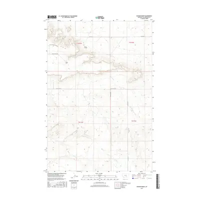
2017 Map of Hickson Ranch
USGS Topo · Published 2017About this map
Hickson Ranch serves as the namesake landmark for this portion of Yellowstone County, situated within a high-plains landscape defined by seasonal drainages and cattle country infrastructure. This 2017 survey details the complex network of rural access routes, including Buffalo Springs Ranch Roads and Buffalo Springs Rd, which navigate the elevation changes around Burnt Coulee. The hydrologic pattern is dominated by the meandering paths of Five Mile Cr and Twelve Mile Cr, which cut through the open range. Local transportation is grounded by established connectors like Shepherd Acton Rd and Alexander Rd, illustrating the modern layout of ranching properties and section lines in this part of Montana. The map provides a clear record of land use and water resources essential for understanding the contemporary geography of the region.
Find a feature on this map
14 named features on this map. Tap any name to fly to it.
Don’t see what you’re looking for? This feature index may not catch every label — zoom into the map to look around manually.
Map Details
Editions of this 2017 Hickson Ranch Map
This is the sole edition of this map. No revisions or reprints were ever made.
Other maps of this area
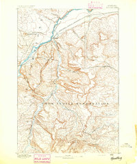
1893 · Huntley
USGS Topo · 1:125,000
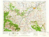
1954 · Billings
USGS Topo · 1:250,000

1954 · Roundup
USGS Topo · 1:250,000
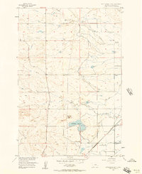
1956 · Rattlesnake Butte
USGS Topo · 1:24,000
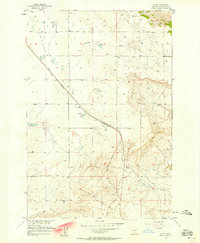
1956 · Acton
USGS Topo · 1:24,000
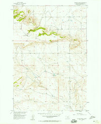
1956 · Hickson Ranch
USGS Topo · 1:24,000
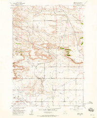
1956 · Rimrock
USGS Topo · 1:24,000
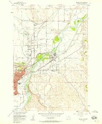
1956 · Billings East
USGS Topo · 1:24,000
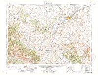
1957 · Billings
USGS Topo · 1:250,000
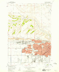
1957 · Billings West
USGS Topo · 1:24,000