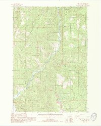
1988 Map of Hidden Lake
USGS Topo · Published 1988About this map
The Gallatin River carves through a narrow canyon in this 1980s mountain survey, serving as a primary corridor for travel and settlement. Located within the Gallatin National Forest, the map illustrates a landscape defined by its protected status and topographical complexity, including portions of the Lee Metcalf Wilderness and the Gallatin State Wildlife Management Area. Human presence is concentrated near the river, where the Karat Ranch and crossings like Jack Smith Bridge and Highs Bridge provide rare landmarks in the high-elevation terrain.
Find a feature on this map
27 named features on this map. Tap any name to fly to it.
Don’t see what you’re looking for? This feature index may not catch every label — zoom into the map to look around manually.
Map Details
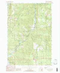
Editions of this 1988 Hidden Lake Map
2 editions found
Other maps of this area

1888 · Three Forks
USGS Topo · 1:250,000

1894 · Three Forks
USGS Topo · 1:250,000

1895 · Three Forks
USGS Topo · 1:250,000

1947 · Bozeman
USGS Topo · 1:250,000

1948 · Bozeman
USGS Topo · 1:250,000

1950 · Spanish Peaks
USGS Topo · 1:62,500

1950 · Sphinx Mountain
USGS Topo · 1:62,500

1955 · Bozeman
USGS Topo · 1:250,000

1955 · Garnet Mountain
USGS Topo · 1:62,500

1955 · Crown Butte
USGS Topo · 1:62,500