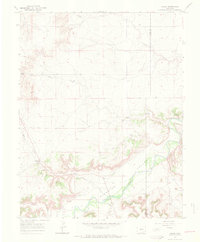
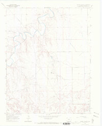
1966 Map of Higbee
USGS Topo · Published 1970About this map
Higbee serves as the focal point of this mid-1960s survey, situated where the high plains meet the intricate drainage system of the Purgatoire River. The landscape is defined by its water management and agricultural infrastructure, evidenced by the Ninemile Canal winding through the Ninemile Valley. This is a rural settlement pattern where life centered around local institutions, including the Higbee Valley Sch and the Higbee Cem, alongside outlying cattle operations like the Patton Ranch.
Find a feature on this map
18 named features on this map. Tap any name to fly to it.
Don’t see what you’re looking for? This feature index may not catch every label — zoom into the map to look around manually.
Map Details
Editions of this 1966 Higbee Map
2 editions found
Other maps of this area

1891 · Higbee
USGS Topo · 1:125,000

1891 · Timpas
USGS Topo · 1:125,000

1893 · Higbee
USGS Topo · 1:125,000

1894 · Timpas
USGS Topo · 1:125,000

1955 · La Junta
USGS Topo · 1:250,000

1958 · La Junta
USGS Topo · 1:250,000

1966 · La Junta SE
USGS Topo · 1:24,000
1966 · Hackamore Ranch
USGS Topo · 1:24,000
1966 · La Junta
USGS Topo · 1:24,000
1966 · Turkey Canyon
USGS Topo · 1:24,000