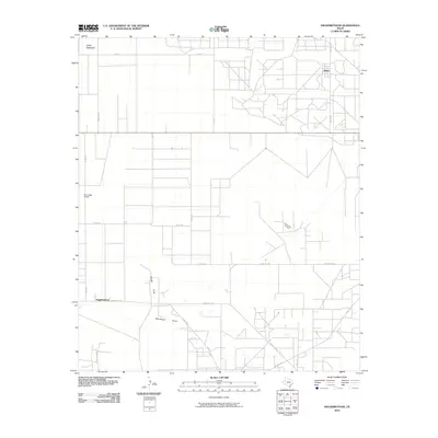
2010 Map of Higginbotham
USGS Topo · Published 2010About this map
Llano Estacado terrain defines this section of Gaines County, where the stark, flat geography of the Texas Panhandle is marked by a precise grid of rural roads and energy infrastructure. The community of Higginbotham sits at the southern edge, connected to the surrounding ranchland by Ranch Rd 1757. To the northeast, the settlement of Allred serves as another focal point for local transport, situated near the intersection of FM 1622 and Alred Rd.
Find a feature on this map
23 named features on this map. Tap any name to fly to it.
Don’t see what you’re looking for? This feature index may not catch every label — zoom into the map to look around manually.
Map Details
Editions of this 2010 Higginbotham Map
This is the sole edition of this map. No revisions or reprints were ever made.
Other maps of this area

1954 · Hobbs
USGS Topo · 1:250,000

1954 · Brownfield
USGS Topo · 1:250,000

1958 · Brownfield
USGS Topo · 1:250,000

1958 · Hobbs
USGS Topo · 1:250,000

1962 · Brownfield
USGS Topo · 1:250,000

1969 · Humble City NE
USGS Topo · 1:24,000

1969 · Humble City SE
USGS Topo · 1:24,000

1970 · Prairieview SE
USGS Topo · 1:24,000

1970 · Humble City SE
USGS Topo · 1:24,000

1971 · Higginbotham
USGS Topo · 1:24,000