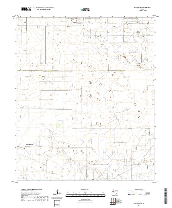
2022 Map of Higginbotham
USGS Topo · Published 2022About this map
Higginbotham sits in the high plains of the Llano Estacado, serving as a primary point of settlement in this agricultural landscape straddling the line between Yoakum and Gaines counties. The topography is defined by the ephemeral drainage systems of Wards Draw and Wardswell Draw, which cut through the level terrain. This 2022 survey details a systematic grid of county roads, including Co Rd 237 and Co Rd 350, that facilitate the movement of goods across these expansive West Texas ranchlands. The road network is anchored by state-maintained routes such as Ranch Rd 1757 and FM 1622, illustrating the modern connectivity of this rural region. The map reflects a landscape dedicated to large-scale land use, where the subtle contours of the draws provide the only significant variation in the local geography.
Find a feature on this map
20 named features on this map. Tap any name to fly to it.
Don’t see what you’re looking for? This feature index may not catch every label — zoom into the map to look around manually.
Map Details
Editions of this 2022 Higginbotham Map
This is the sole edition of this map. No revisions or reprints were ever made.
Other maps of this area

1954 · Hobbs
USGS Topo · 1:250,000

1954 · Brownfield
USGS Topo · 1:250,000

1958 · Brownfield
USGS Topo · 1:250,000

1958 · Hobbs
USGS Topo · 1:250,000

1962 · Brownfield
USGS Topo · 1:250,000

1969 · Humble City NE
USGS Topo · 1:24,000

1969 · Humble City SE
USGS Topo · 1:24,000

1970 · Prairieview SE
USGS Topo · 1:24,000

1970 · Humble City SE
USGS Topo · 1:24,000

1971 · Higginbotham
USGS Topo · 1:24,000