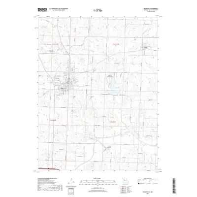
2017 Map of Higginsville
USGS Topo · Published 2017About this map
The agricultural and civic landscape of Higginsville dominates this Lafayette County survey, anchoring a network of secondary roads and small-town infrastructure in the late 2010s. The town's significance as a regional center is evident through its numerous institutional sites, including the extensive Missouri State Veterans Cem - Higginsville and the Higginsville Industrial Municipal Airport. Beyond the main settlement, the smaller communities of Corder and Aullville appear along established routes like State Hwy V and State Hwy T, marking the transitions between residential clusters and the surrounding farmland.
Find a feature on this map
111 named features on this map. Tap any name to fly to it.
Don’t see what you’re looking for? This feature index may not catch every label — zoom into the map to look around manually.
Map Details
Editions of this 2017 Higginsville Map
This is the sole edition of this map. No revisions or reprints were ever made.
Other maps of this area

1885 · Warrensburg
USGS Topo · 1:125,000

1887 · Warrensburg
USGS Topo · 1:125,000

1889 · Lexington
USGS Topo · 1:125,000

1894 · Warrensburg
USGS Topo · 1:125,000

1917 · Knobnoster
USGS Topo · 1:62,500

1947 · Jefferson City
USGS Topo · 1:250,000

1949 · Mayview
USGS Topo · 1:24,000

1949 · Lexington East
USGS Topo · 1:24,000

1950 · Lexington East
USGS Topo · 1:24,000

1950 · Mayview
USGS Topo · 1:24,000