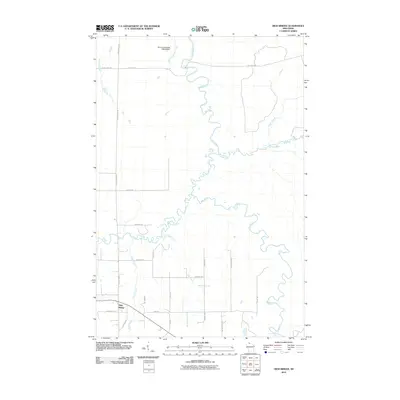
2010 Map of High Bridge
USGS Topo · Published 2010About this map
High Bridge serves as the primary settlement hub in this northern Wisconsin landscape, where a complex network of waterways defines the terrain. The serpentine Bad River dominates the central topography, joined by significant tributaries including the Potato River, Marengo River, and Vaughn Creek. The infrastructure of the era is marked by a grid of rural roads such as Government Rd and Jussila Rd, which provide access to more remote locations like the Elm Hoist Wildlife G963 9 Dam in the north. Towards the southern boundary, the waters of the Bad River reach Brownstone Falls, a notable hydrological landmark near the intersection of several local routes. This map provides a detailed view of the rural homesteads and agricultural plots connected by named thoroughfares like Coria Rd and Delafield Rd.
Find a feature on this map
31 named features on this map. Tap any name to fly to it.
Don’t see what you’re looking for? This feature index may not catch every label — zoom into the map to look around manually.
Map Details
Editions of this 2010 High Bridge Map
This is the sole edition of this map. No revisions or reprints were ever made.
Other maps of this area

1942 · Ashland
USGS Topo · 1:48,000

1942 · Mellen
USGS Topo · 1:48,000

1942 · Marengo
USGS Topo · 1:48,000

1943 · Odanah
USGS Topo · 1:48,000

1945 · Odanah
USGS Topo · 1:48,000

1945 · Marengo
USGS Topo · 1:48,000

1945 · Mellen
USGS Topo · 1:48,000

1947 · Ashland
USGS Topo · 1:48,000

1953 · Ashland
USGS Topo · 1:250,000
1956 · Mt. Whittlesey
USGS Topo · 1:24,000