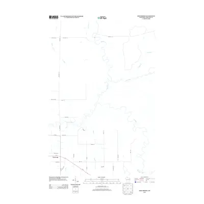
2013 Map of High Bridge
USGS Topo · Published 2013About this map
High Bridge serves as the primary settlement hub in this northern Wisconsin landscape, where the transport corridor of Wi-13 intersects with local routes like Cemetery Rd. The area is defined by a dense network of watercourses, most notably the meandering Bad River, which flows northward to meet the Potato River. A significant geographic landmark is found at Bad River Brownstone Falls, highlighting the area's distinct geological transitions. Local road names such as Poor Farm Rd, Elm Hoist Rd, and Golf Course Rd suggest a history of diverse land use, from early social services and timber operations to modern recreation. Smaller tributaries like Silver Cr and Billy Cr feed into the Marengo River, illustrating the complex drainage patterns of the Chequamegon-Nicolet region.
Find a feature on this map
33 named features on this map. Tap any name to fly to it.
Don’t see what you’re looking for? This feature index may not catch every label — zoom into the map to look around manually.
Map Details
Editions of this 2013 High Bridge Map
This is the sole edition of this map. No revisions or reprints were ever made.
Other maps of this area

1942 · Ashland
USGS Topo · 1:48,000

1942 · Mellen
USGS Topo · 1:48,000

1942 · Marengo
USGS Topo · 1:48,000

1943 · Odanah
USGS Topo · 1:48,000

1945 · Odanah
USGS Topo · 1:48,000

1945 · Marengo
USGS Topo · 1:48,000

1945 · Mellen
USGS Topo · 1:48,000

1947 · Ashland
USGS Topo · 1:48,000

1953 · Ashland
USGS Topo · 1:250,000
1956 · Mt. Whittlesey
USGS Topo · 1:24,000