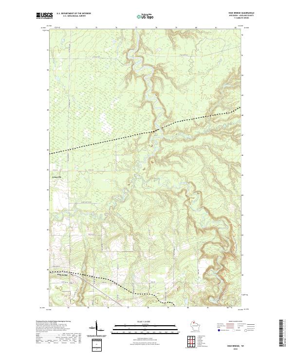
2022 Map of High Bridge
USGS Topo · Published 2022About this map
The confluence of the Bad River and the Potato River anchors this Ashland County landscape, where the northern waters carve through the timber and marshlands of northern Wisconsin. The small settlements of High Bridge and Jolmaville represent the primary residential hubs, linked by a network of rural routes such as Cemetary Rd and Poor Farm Rd that hint at the local civic history. The terrain is defined by its drainage patterns, featuring numerous tributaries like Silver Cr, Camerons Cr, and Billy Cr that feed into the larger river systems.
Find a feature on this map
35 named features on this map. Tap any name to fly to it.
Don’t see what you’re looking for? This feature index may not catch every label — zoom into the map to look around manually.
Map Details
Editions of this 2022 High Bridge Map
This is the sole edition of this map. No revisions or reprints were ever made.
Other maps of this area

1942 · Ashland
USGS Topo · 1:48,000

1942 · Mellen
USGS Topo · 1:48,000

1942 · Marengo
USGS Topo · 1:48,000

1943 · Odanah
USGS Topo · 1:48,000

1945 · Odanah
USGS Topo · 1:48,000

1945 · Marengo
USGS Topo · 1:48,000

1945 · Mellen
USGS Topo · 1:48,000

1947 · Ashland
USGS Topo · 1:48,000

1953 · Ashland
USGS Topo · 1:250,000
1956 · Mt. Whittlesey
USGS Topo · 1:24,000