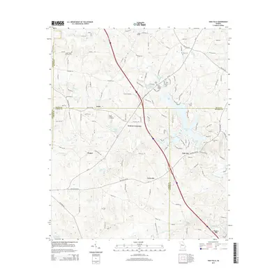
2014 Map of High Falls
USGS Topo · Published 2014About this map
The Towaliga River and its major impoundment, High Falls Lake, dominate this landscape at the intersection of Lamar, Butts, Monroe, and Spalding counties. The settlement pattern follows established ridge roads and rural junctions, with Weldons Crossroads and Patillo anchoring the northern half of the quadrangle. Local heritage is preserved in several family and community burial grounds, including Mt Zion Cem, Providence Cem, and the Foster - Jester Huddleston Cem near the western boundary. Modern transportation is represented by the north-south corridor of Interstate 75, which bisects the area and passes near the private Flying H Ranch Inc Airport. Further south, the map reveals the local centers of Chappel and Unionville, while Higgins Mill sits along the Little Towaliga River at the southeastern edge, illustrating the area's continued connection to its historic watercourses.
Find a feature on this map
124 named features on this map. Tap any name to fly to it.
Don’t see what you’re looking for? This feature index may not catch every label — zoom into the map to look around manually.
Map Details
Editions of this 2014 High Falls Map
This is the sole edition of this map. No revisions or reprints were ever made.
Other maps of this area

1951 · Forsyth
USGS Topo · 1:62,500

1951 · Barnesville
USGS Topo · 1:62,500

1953 · Atlanta
USGS Topo · 1:250,000

1953 · Athens
USGS Topo · 1:250,000

1957 · Atlanta
USGS Topo · 1:250,000

1958 · Athens
USGS Topo · 1:250,000

1958 · Atlanta
USGS Topo · 1:250,000

1959 · Athens
USGS Topo · 1:250,000

1963 · Athens
USGS Topo · 1:250,000

1964 · Luella
USGS Topo · 1:24,000