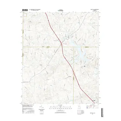
2017 Map of High Falls
USGS Topo · Published 2017About this map
The Towaliga River and Little Towaliga River converge in this Piedmont landscape, creating a watery focal point at High Falls Lake. This 2017 survey documents a transition of the rural landscape where historical family names persist in the terrain despite modern infrastructure. Family legacies are preserved at sites like Foster Jester Huddleston Cem and Weaver Cem, while the industrial past is marked by Higgins Mill on the lower reaches of the river. Small settlements such as Chappel, Patillo, and Unionville are connected by a network of winding roads like Bucksnort Rd and Chappell Mill Rd, illustrating the intersection of old agrarian roots and contemporary transit. The map provides a detailed look at the drainage basins of Cabin Cr and Buck Creek, punctuated by landmarks like Flat Shoals Bridge and Glens Bridge.
Find a feature on this map
113 named features on this map. Tap any name to fly to it.
Don’t see what you’re looking for? This feature index may not catch every label — zoom into the map to look around manually.
Map Details
Editions of this 2017 High Falls Map
This is the sole edition of this map. No revisions or reprints were ever made.
Other maps of this area

1951 · Forsyth
USGS Topo · 1:62,500

1951 · Barnesville
USGS Topo · 1:62,500

1953 · Atlanta
USGS Topo · 1:250,000

1953 · Athens
USGS Topo · 1:250,000

1957 · Atlanta
USGS Topo · 1:250,000

1958 · Athens
USGS Topo · 1:250,000

1958 · Atlanta
USGS Topo · 1:250,000

1959 · Athens
USGS Topo · 1:250,000

1963 · Athens
USGS Topo · 1:250,000

1964 · Luella
USGS Topo · 1:24,000