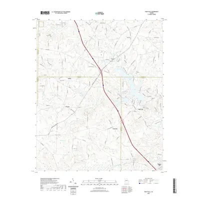
2020 Map of High Falls
USGS Topo · Published 2020About this map
The Towaliga River and High Falls Lake anchor this region where Butts, Lamar, and Monroe counties meet. The settlement of High Falls sits at the eastern edge of the lake, while the surrounding countryside is dotted with small communities like Chappel, Unionville, and Patillo. The topography is defined by numerous drainage systems including Buck Creek, Brushy Cr, and Cabin Cr, which carve through the land before joining the river system.
Find a feature on this map
116 named features on this map. Tap any name to fly to it.
Don’t see what you’re looking for? This feature index may not catch every label — zoom into the map to look around manually.
Map Details
Editions of this 2020 High Falls Map
This is the sole edition of this map. No revisions or reprints were ever made.
Other maps of this area

1951 · Forsyth
USGS Topo · 1:62,500

1951 · Barnesville
USGS Topo · 1:62,500

1953 · Atlanta
USGS Topo · 1:250,000

1953 · Athens
USGS Topo · 1:250,000

1957 · Atlanta
USGS Topo · 1:250,000

1958 · Athens
USGS Topo · 1:250,000

1958 · Atlanta
USGS Topo · 1:250,000

1959 · Athens
USGS Topo · 1:250,000

1963 · Athens
USGS Topo · 1:250,000

1964 · Luella
USGS Topo · 1:24,000