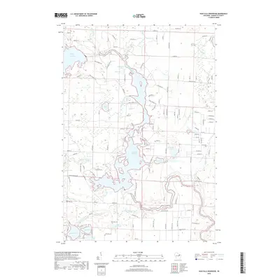
2018 Map of High Falls Reservoir
USGS Topo · Published 2018About this map
The Peshtigo River serves as the central artery of this Marinette County landscape, feeding into the expansive High Falls Reservoir and the Caldron Falls Reservoir. This hydro-focused terrain is defined by its complex shoreline and numerous smaller water bodies, including Old Veterans Lake, Angle Lake, and Woods Lake. The map details a network of secondary roads and boat landings, such as Boat Landing 8 Rd and Boat Landing 13 Rd, illustrating the area's development for recreation and water access. In the southern portion, the Thunder River and its associated Thunder Lake Outlet link several smaller basins like Eagle Lake and Little Perch Lake. The eastern edge is marked by the winding course of Medicine Brook, which drains through a landscape dotted with ponds such as Kahles Pond and Kiss Lake.
Find a feature on this map
124 named features on this map. Tap any name to fly to it.
Don’t see what you’re looking for? This feature index may not catch every label — zoom into the map to look around manually.
Map Details
Editions of this 2018 High Falls Reservoir Map
This is the sole edition of this map. No revisions or reprints were ever made.
Other maps of this area
1940 · Thunder Mtn.
USGS Topo · 1:48,000
1940 · Athelstane
USGS Topo · 1:48,000
1941 · Coleman
USGS Topo · 1:48,000
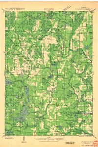
1942 · Athelstane
USGS Topo · 1:48,000
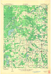
1942 · Coleman
USGS Topo · 1:48,000
1942 · Breed
USGS Topo · 1:48,000
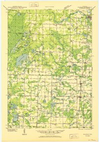
1950 · Coleman
USGS Topo · 1:48,000
1951 · Thunder Mountain
USGS Topo · 1:48,000
1952 · Mountain
USGS Topo · 1:48,000
1954 · Iron Mountain
USGS Topo · 1:250,000