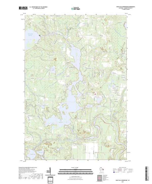
2023 Map of High Falls Reservoir
USGS Topo · Published 2023About this map
The Peshtigo River carves a central path through this Marinette County landscape, feeding the expansive High Falls Reservoir and Caldron Falls Reservoir. This 2023 map details the intricate network of water bodies and minor drainages that define northern Wisconsin, including Thunder River and its accompanying Thunder Lake Outlet. The map reflects a landscape deeply shaped by hydroelectric development and forest management, visible in the numerous named access roads like N Old Trail Rd and Boat Landing 8 Rd. Scattered among the dense woodlands are several smaller lakes, such as Old Veterans Lake, Makwa Lake, and Joy Lake, which highlight the region's character as a recreational and conservation corridor. Modern infrastructure is captured through the labeling of various residential and service lanes, such as Hummingbird Ln and Evans Hill Rd.
Find a feature on this map
129 named features on this map. Tap any name to fly to it.
Don’t see what you’re looking for? This feature index may not catch every label — zoom into the map to look around manually.
Map Details
Editions of this 2023 High Falls Reservoir Map
This is the sole edition of this map. No revisions or reprints were ever made.
Other maps of this area

1940 · Thunder Mtn.
USGS Topo · 1:48,000

1940 · Athelstane
USGS Topo · 1:48,000

1941 · Coleman
USGS Topo · 1:48,000

1942 · Athelstane
USGS Topo · 1:48,000

1942 · Coleman
USGS Topo · 1:48,000

1942 · Breed
USGS Topo · 1:48,000

1950 · Coleman
USGS Topo · 1:48,000

1951 · Thunder Mountain
USGS Topo · 1:48,000

1952 · Mountain
USGS Topo · 1:48,000

1954 · Iron Mountain
USGS Topo · 1:250,000