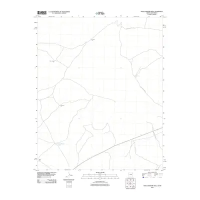
2010 Map of High Lonesome Well
USGS Topo · Published 2010About this map
The arid ranching and service infrastructure of the High Lonesome Well area is defined by a critical network of water sources and reservation roads. These improvements, identified by the High Lonesome Well, Devil Pass Well, and Straddling Well, emphasize the importance of water management in a landscape where traditional surface water is scarce. The geography is further organized by the Bureau of Indian Affairs transportation network, primarily through Indian Service Route 23 and Indian Service Route 39, which facilitate movement across this expansive terrain. This 2010 survey documents the intersection of rural utility and transit corridors, including the East Pasture Tank and the southern junction at Indian Service Route 47, illustrating how localized features like North Well and East Pasture Well anchor the logistical operations of the region.
Find a feature on this map
9 named features on this map. Tap any name to fly to it.
Don’t see what you’re looking for? This feature index may not catch every label — zoom into the map to look around manually.
Map Details
Editions of this 2010 High Lonesome Well Map
This is the sole edition of this map. No revisions or reprints were ever made.
Other maps of this area

1886 · St Johns
USGS Topo · 1:250,000

1886 · Wingate
USGS Topo · 1:250,000

1886 · Fort Defiance
USGS Topo · 1:250,000

1892 · Fort Defiance
USGS Topo · 1:250,000

1892 · St Johns
USGS Topo · 1:250,000

1892 · Wingate
USGS Topo · 1:250,000

1954 · Saint Johns
USGS Topo · 1:250,000

1954 · Gallup
USGS Topo · 1:250,000

1957 · Saint Johns
USGS Topo · 1:250,000

1958 · Gallup
USGS Topo · 1:250,000