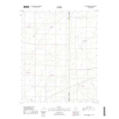
2018 Map of High Lonesome Well
USGS Topo · Published 2018About this map
The Arizona-New Mexico state line bisects this high desert landscape, where the Apache County and McKinley County borders meet in the Fort Defiance Agency region. Life in this arid environment revolves around precious water access points, as seen in the remote High Lonesome Well and the East Pasture Tank near the southern edge of the survey. The terrain is marked by a network of service roads that facilitate movement across the tribal lands, including Indian Svc Rte 23 and Indian Svc Rte 39. These thoroughfares, along with Dove Spring Ave, provide the primary infrastructure for ranching and resource management in a region defined by its wide elevation contours and sparse development at the time of this 2018 update.
Find a feature on this map
17 named features on this map. Tap any name to fly to it.
Don’t see what you’re looking for? This feature index may not catch every label — zoom into the map to look around manually.
Map Details
Editions of this 2018 High Lonesome Well Map
This is the sole edition of this map. No revisions or reprints were ever made.
Other maps of this area
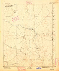
1886 · St Johns
USGS Topo · 1:250,000
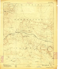
1886 · Wingate
USGS Topo · 1:250,000
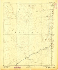
1886 · Fort Defiance
USGS Topo · 1:250,000
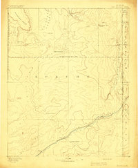
1892 · Fort Defiance
USGS Topo · 1:250,000
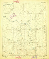
1892 · St Johns
USGS Topo · 1:250,000
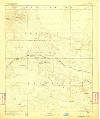
1892 · Wingate
USGS Topo · 1:250,000

1954 · Saint Johns
USGS Topo · 1:250,000

1954 · Gallup
USGS Topo · 1:250,000

1957 · Saint Johns
USGS Topo · 1:250,000
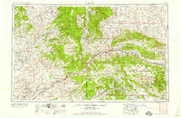
1958 · Gallup
USGS Topo · 1:250,000